
Drone Applications in Environmental Monitoring
NRTG’s MicroCourses provide a flexible and enriching pathway to build your skills and expertise — one focused, practical course at a time. Drone Applications in Environmental Monitoring delivers a practical introduction to drone technology and its environmental applications in a streamlined, easy-to-digest format designed for immediate, real-world application.
Drones (Remotely Piloted Aircraft Systems—RPAS) are increasingly used to support environmental monitoring, stewardship, conservation, and resource management projects. From habitat assessments and watershed monitoring to shoreline mapping, vegetation analysis, and restoration projects, drones provide a safe, efficient, and cost-effective way to collect detailed environmental information.
Whether you are an environmental professional, resource manager, field technician, consultant, student, or community member, this MicroCourse will help you understand how drones are being used to collect, analyze, and communicate environmental data. No previous drone experience is required.
You’ll explore common drone platforms, sensors, payloads, and terminology, while developing an understanding of the regulatory requirements and operational considerations that support safe and responsible drone use. The course also introduces the fundamentals of mission planning, environmental monitoring workflows, and drone-based data collection.
Through real-world examples and applied exercises, you will learn how drone imagery is transformed into environmental data products such as orthomosaics, 3D models, and GIS-compatible datasets, and how those outputs can support monitoring, reporting, stewardship initiatives, and environmental decision-making.
Course will be 4 hours long.
Program Outcomes
Upon successful completion of this program, you will be able to:
- Describe common drone platforms, sensors, payloads, and terminology used in environmental monitoring applications.
- Explain key regulatory, safety, and operational considerations for drone use in Canada, the United States, and Europe.
- Select appropriate drone technologies, flight approaches, and data products for a range of environmental monitoring scenarios.
- Develop a basic drone mission plan that considers environmental objectives, site conditions, safety requirements, and data collection needs.
- Understand how drone imagery is processed into useful environmental data products and how those products support environmental monitoring and resource management decisions.
Instructor Profile
Adrian Fletcher
Founder of One Track Drone Training
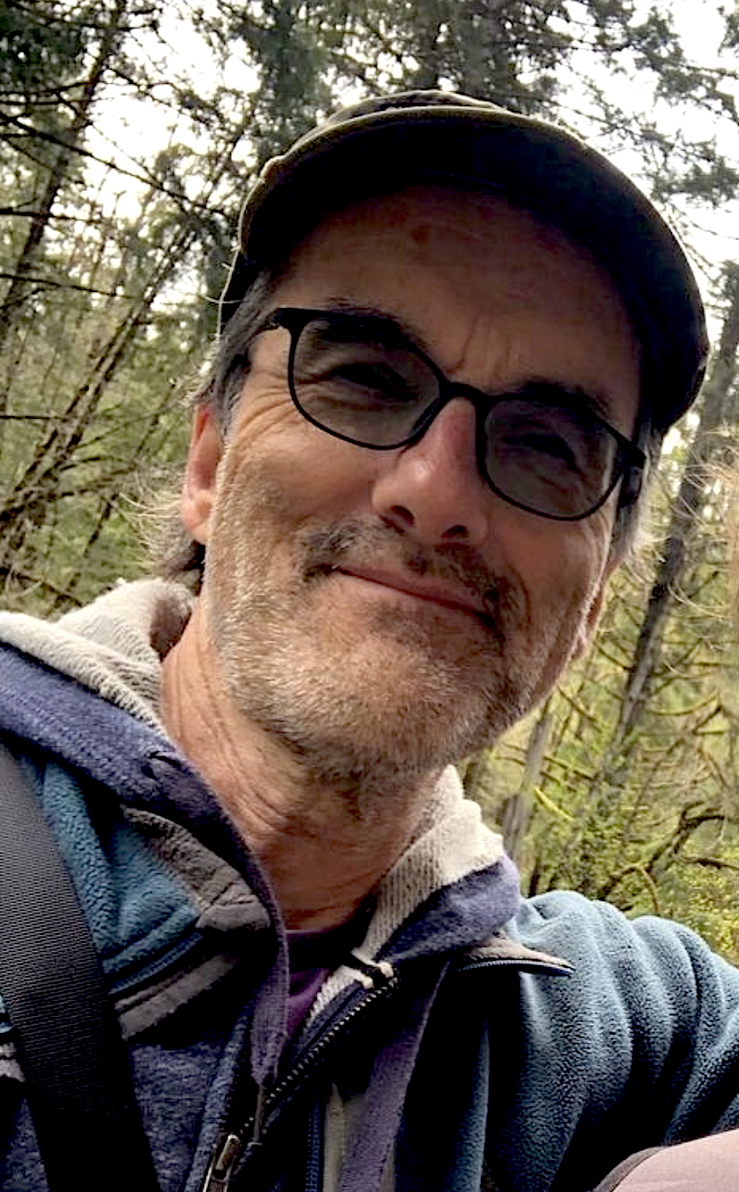
Adrian Fletcher is the founder of One Track Drone Training, a Vancouver Island-based organization specializing in professional drone pilot training, RPAS operations, mapping, inspections, and environmental applications. He is a Transport Canada-certified Level 1 and Advanced Operations RPAS pilot, Chief Ground Instructor, and commercial drone operator.
Adrian develops and delivers drone training for industry professionals, community organizations, and Indigenous stewardship teams seeking to integrate drone technology into environmental monitoring, mapping, and resource management initiatives. As a co-creator of FreshwaterVI — a collaborative environmental mapping project documenting freshwater features across Vancouver Island — he brings practical experience in drone operations, mapping workflows, environmental monitoring, and regulatory compliance to this course.